Mobile and Agile

  • Unlike other GIS software, Mappt is downloaded straight from the Google Play Store onto your Android device in minutes.
  • You only need to carry one small device, as Mappt is packed with all the features you need to capture your geospatial data.
  • Mappt’s user friendly interface makes field work simpler as well as more efficient.

Offline GPS Tracking

  • Take advantage of Mappt’s full GPS tracking to trace the areas you have covered or find your way back to base.
  • You can have the GPS switched on in the background and get on with your work while it records your steps and measures distances.
  • Our GPS tracking does all this with no need for WiFi or internet coverage, making Mappt ideal for use in remote areas.

Geotagged Photos

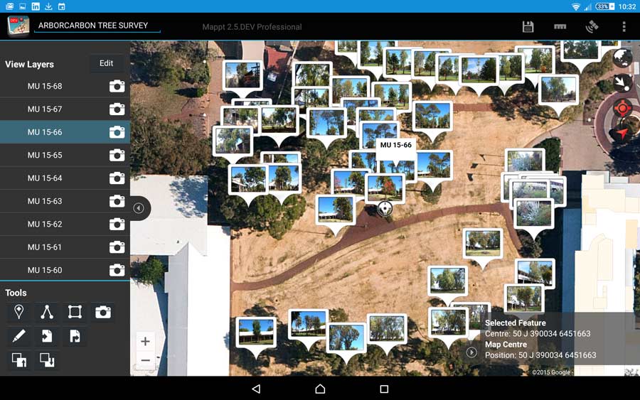
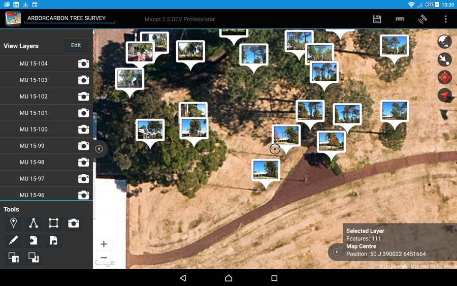
  • Mappt has the ability to pin photos taken by your Android device onto your map.
  • Using geotagged photos makes your data far more visual than just a marker point, and allows you to pinpoint where specific objects are (for example a hazard) and assign attributes to them – so you can leave the notepad at the office as well as your camera!

Geofencing

  • When working in the field it’s important to know the areas you cannot enter, so to help minimise risk we have implemented geofencing, which is essential for marking out exclusion and inclusion zones.
  • If you step inside an exclusion zone, an alarm will notify you and the event will be logged in Mappt.
  • Geofences are particularly handy for marking out areas such as dangerous terrains or privately owned land.
  • Alternatively, if you’re working in a small area geofencing can be more useful to mark out inclusion zones to make sure you don’t step out of your working boundary.

Drop Down Forms

  • Drop down forms are used in the attributes feature to create a list of options to choose from when recording information.
  • They cut down repetitive tasks, reduce human error and give you consistent information faster.
  • An example of when you would use drop down forms, if you’re searching for specific species of trees you can create a drop down form listing the ones you want your team to record. Once a tree on the list has been found, they can select it as opposed to typing the data in every time.

Importing and Exporting Data

  • Mappt’s ability to work offline means it won’t let you down in locations where there is no internet connection.
  • Access your own imagery, import vector and existing data and export data as KML or Shapefiles with no need for WiFi or 4G.
  • Quickly load custom satellite imagery into Mappt as ECW and JP2 images, giving you the closest experience to standing inside your own imagery.
  • Once back online, export your data via email or upload it to Google Drive directly from inside Mappt. You can also easily publish your data to Google Maps or Google Earth, which you can then embed into your website.
Images supplied by ArborCarbon

Testimonial

No items found.