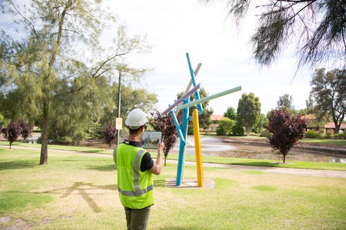
Offline GPS Tracking

  • IMappt’s full GPS tracking is essential for monitoring the areas you have covered.
  • Leave the GPS tracker on in the background so that you can get on with your work while it records your journey.
  • This is ideal for helping workers find infrastructure fast, plus because you can do this all offline with no need for WiFi or 4G, Mappt is perfect for use in remote areas.

Geotagged Photos

  • To complement the GPS tracking, we have also implemented geotagged photos.
  • Capture an image with the camera on your Android tablet or phone, and Mappt will pin it onto your map to give you a far more visual marker than just a point.
  • Geotagged photos are perfect for flagging hazards or rare findings that you want to return to in the future.

Coordinate Searching

  • Mappt has the ability to search for a specific set of coordinates.
  • Just type in where you need to go into the ‘Jump To’ dialogue and Mappt will focus on that area.
  • Using its advanced map caching, Mappt can find coordinates offline so there’s no need for internet access!
  • This is ideal if you need to find a particular area within a large field or park, so you can respond to customer requests quicker.

Geofencing

  • While working in the field, particularly around both private and government owned areas, you must be aware of your boundaries. This is where Mappt’s geofencing tool is essential.
  • Our mobile GIS’s geofencing feature draws out exclusion and inclusion zones to keep you on track and minimise risk. If you step inside an exclusion zone, an alarm will notify you and the event will be recorded.
  • This is particularly handy for marking out sites such as national parks or wildlife reserves.
  • If you’re collating data in a more confined area, geofencing can be more useful to mark out inclusion zones to make sure you don’t step out of that area.

Drop Down Forms

  • Mappt’s drop down forms are located in the attributes feature. They enable you to make a list of options to choose from when recording geospatial information, helping you normalise your data.
  • This is particularly effective when you’re working in a team; for example, if you’re monitoring various neighbourhoods, you can create a drop down form listing the details you want your team to record.
  • Once a listed article has been discovered, they can tap it as opposed to typing in the data every time, for example selecting ‘broken fence’ or ‘graffiti’.
  • Drop down forms cut down repetitive work, reduce human error and keep your data collection on track.

Compact and Mobile

  • As Mappt is downloaded onto an agile Android device rather than a traditional bulky machine, it makes the ideal mobile mapping tool.
  • The large screen of Android tablets and long battery life of Android phones mean Mappt will also help you on longer days and when visibility is tricky.
  • Our empowering mobile GIS software is incredibly easy to use thanks to the user friendly interface and simple icons.
  • You and your team should be able to download Mappt from the Google Play Store onto your Android device, and capture data with minimal training. However, if you do need support just contact us, our team is always here to help.

Importing and Exporting Data

  • Before you go offline, Mappt allows you to quickly import corporate GIS data via Google Drive or HTTP for viewing offline in the field.
  • Once in the field, our mobile GIS allows you to access your own imagery, import vector and existing data and export data such as KML or Shapefiles with no need for WiFi or 4G.
  • Quickly load custom satellite imagery into Mappt as ECW and JP2 images, giving you the closest experience to standing inside your own imagery.
  • When you get back online, you can publish your data to Google Maps or Google Earth in minutes, and even embed that data into your website.
  • If you want to share it with others, you can send your collected data through email or upload it onto Google Drive via our mobile GIS.

Testimonial

No items found.