Health and Safety
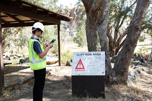
Mappt is the ideal mobile GIS for health and disaster response. It can help to identify areas of danger, e.g. where disease or bushfires have spread and where they could spread to next, or highlight where disaster zones are and use the aerial imagery to see exactly where you are in the field. Our mobile GIS app can access imagery offline, capture visual data in the field and warn you away from dangerous no-go areas.